This class holds a singleton instance which is an entry point for accessing IGN Geoplatform in order to create a georeferenced project. More...
#include <TYIGNGeoProvider.h>
Signals | |
| void | geoProjectCreationRequested () |
Public Member Functions | |
| TYIGNGeoProvider (TYIGNGeoProvider &other)=delete | |
| void | operator= (const TYIGNGeoProvider &)=delete |
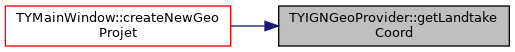
| const QString | getLandtakeCoord () |
| void | setLandtakeCoord (const QString &text) |
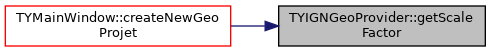
| const QString | getScaleFactor () |
| void | setScaleFactor (const QString &text) |
| const QString | getImageWidth () |
| void | setImageWidth (const QString &text) |
| bool | saveImageToFile (const QString &filePath) |
| void | initEngine () |
| bool | isInitialised () |
| void | openModalWindow (QWidget *mainWindow) |
| void | closeModalWindow () |
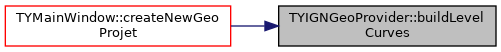
| void | buildLevelCurves (const OCoord3D &SIGCoords, const OBox &selectedZone, double scaleFactor) |
| std::vector< double > | coordinatesToDouble (const QString &coord) |
| bool | mockGeoPf () |
| Mocks IGN Geoplatform web services when they are down. More... | |
| void | resetGeographicData () |
Static Public Member Functions | |
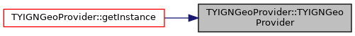
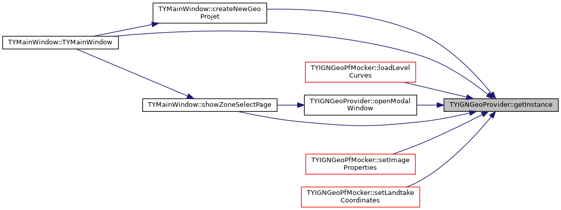
| static TYIGNGeoProvider * | getInstance () |
Public Attributes | |
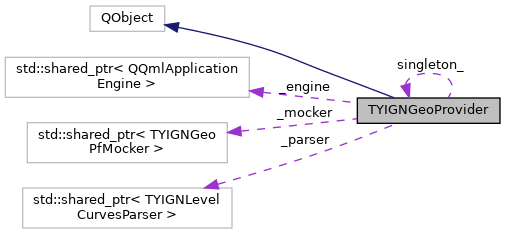
| std::shared_ptr< TYIGNLevelCurvesParser > | _parser |
| std::shared_ptr< TYIGNGeoPfMocker > | _mocker |
Private Slots | |
| void | handleCancelRequest () |
| void | handleOKRequest () |
| void | resetEngine () |
Private Member Functions | |
| TYIGNGeoProvider () | |
Private Attributes | |
| std::shared_ptr< QQmlApplicationEngine > | _engine |
| bool | _isInitialised |
| True when web engine is intialized. More... | |
| bool | _isSelectionValidated |
| Set to false when displaying zone selection page. When selection is validated, it is set to true in order to avoid multiple signal emissions. More... | |
| QObject * | _geographicData |
Static Private Attributes | |
| static TYIGNGeoProvider * | singleton_ = nullptr |
Detailed Description
This class holds a singleton instance which is an entry point for accessing IGN Geoplatform in order to create a georeferenced project.
Definition at line 29 of file TYIGNGeoProvider.h.
Constructor & Destructor Documentation
◆ TYIGNGeoProvider() [1/2]
|
private |
◆ TYIGNGeoProvider() [2/2]
|
delete |
Member Function Documentation
◆ buildLevelCurves()
◆ closeModalWindow()
| void TYIGNGeoProvider::closeModalWindow | ( | ) |
◆ coordinatesToDouble()
| std::vector< double > TYIGNGeoProvider::coordinatesToDouble | ( | const QString & | coord | ) |
◆ geoProjectCreationRequested
|
signal |
◆ getImageWidth()
| const QString TYIGNGeoProvider::getImageWidth | ( | ) |
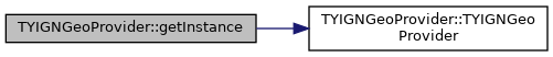
◆ getInstance()
|
static |
Definition at line 37 of file TYIGNGeoProvider.cpp.
◆ getLandtakeCoord()
| const QString TYIGNGeoProvider::getLandtakeCoord | ( | ) |
◆ getScaleFactor()
| const QString TYIGNGeoProvider::getScaleFactor | ( | ) |
◆ handleCancelRequest
|
privateslot |

◆ handleOKRequest
|
privateslot |
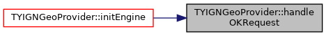
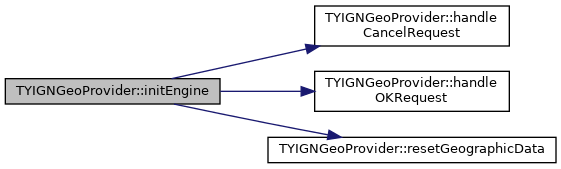
◆ initEngine()
| void TYIGNGeoProvider::initEngine | ( | ) |
Definition at line 76 of file TYIGNGeoProvider.cpp.

◆ isInitialised()
|
inline |
Definition at line 69 of file TYIGNGeoProvider.h.
◆ mockGeoPf()
| bool TYIGNGeoProvider::mockGeoPf | ( | ) |
Mocks IGN Geoplatform web services when they are down.
- Returns
trueif the mock succeded else returnsfalse
Definition at line 253 of file TYIGNGeoProvider.cpp.

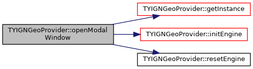
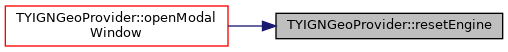
◆ openModalWindow()
| void TYIGNGeoProvider::openModalWindow | ( | QWidget * | mainWindow | ) |
Definition at line 106 of file TYIGNGeoProvider.cpp.

◆ operator=()
|
delete |
◆ resetEngine
|
privateslot |
◆ resetGeographicData()
| void TYIGNGeoProvider::resetGeographicData | ( | ) |

◆ saveImageToFile()
| bool TYIGNGeoProvider::saveImageToFile | ( | const QString & | filePath | ) |
Definition at line 220 of file TYIGNGeoProvider.cpp.

◆ setImageWidth()
| void TYIGNGeoProvider::setImageWidth | ( | const QString & | text | ) |
◆ setLandtakeCoord()
| void TYIGNGeoProvider::setLandtakeCoord | ( | const QString & | text | ) |

◆ setScaleFactor()
| void TYIGNGeoProvider::setScaleFactor | ( | const QString & | text | ) |
Member Data Documentation
◆ _engine
|
private |
Definition at line 38 of file TYIGNGeoProvider.h.
◆ _geographicData
|
private |
Definition at line 52 of file TYIGNGeoProvider.h.
◆ _isInitialised
|
private |
True when web engine is intialized.
Definition at line 44 of file TYIGNGeoProvider.h.
◆ _isSelectionValidated
|
private |
Set to false when displaying zone selection page. When selection is validated, it is set to true in order to avoid multiple signal emissions.
Definition at line 50 of file TYIGNGeoProvider.h.
◆ _mocker
| std::shared_ptr<TYIGNGeoPfMocker> TYIGNGeoProvider::_mocker |
Definition at line 88 of file TYIGNGeoProvider.h.
◆ _parser
| std::shared_ptr<TYIGNLevelCurvesParser> TYIGNGeoProvider::_parser |
Definition at line 87 of file TYIGNGeoProvider.h.
◆ singleton_
|
staticprivate |
Definition at line 36 of file TYIGNGeoProvider.h.
The documentation for this class was generated from the following files:
- /home/docs/checkouts/readthedocs.org/user_builds/code-tympan/checkouts/issue_886/Tympan/gis/TYIGNGeoProvider.h
- /home/docs/checkouts/readthedocs.org/user_builds/code-tympan/checkouts/issue_886/Tympan/gis/TYIGNGeoProvider.cpp